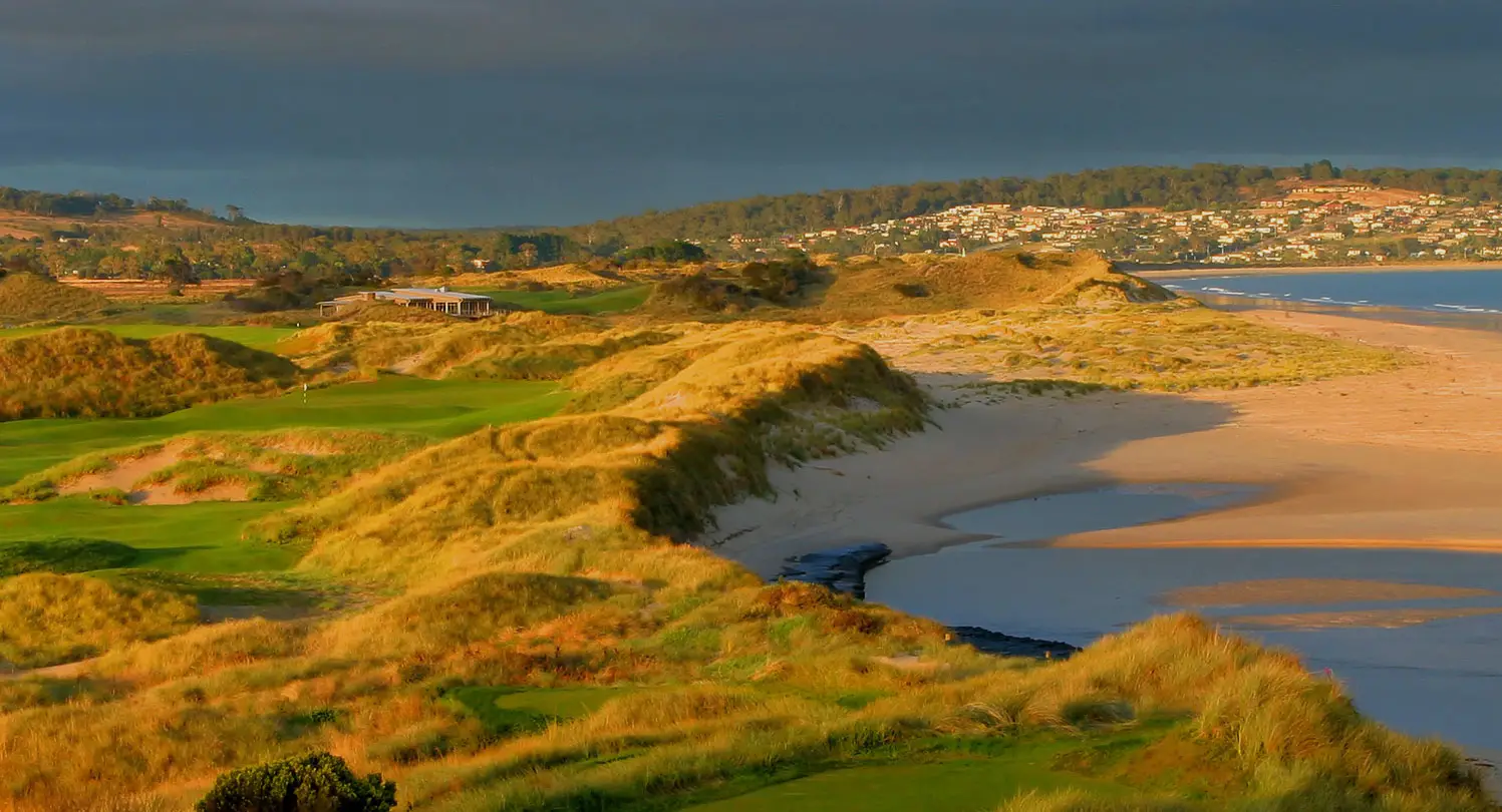

Mt Stronach is on State Forest lying 4 kilometres east of Scottsdale and rises from 130 metres above sea level to 465 metres at the summit.
The Mt Stronach Walking Track can be accessed by exiting the A3 Highway east of Scottsdale onto Buckney’s Road and following the sign to Mt. Stronach Forest Reserve. Following European settlement, Mt.Stronach, like other granite areas of the North East, was prospected for tin but very little was found except in some of the streams flowing out from the lower slopes. Some water races were constructed to collect water for hydraulic mining of alluvial tin. In keeping with early exploitation of natural resources, the better stands of forest were cut for sawlogs and fencing material in the early part of the 20th century. In 1903 an impressive cairn was erected on the summit to commemorate Federation.


While elsewhere in Tasmania people are tucking up by the fire and going into winter hibernation, North East Tasmania comes alive to celebrate and showcase local arts and crafts annually on the June long weekend.
Discover more… + MAP